Situated Atlas / Givisiez
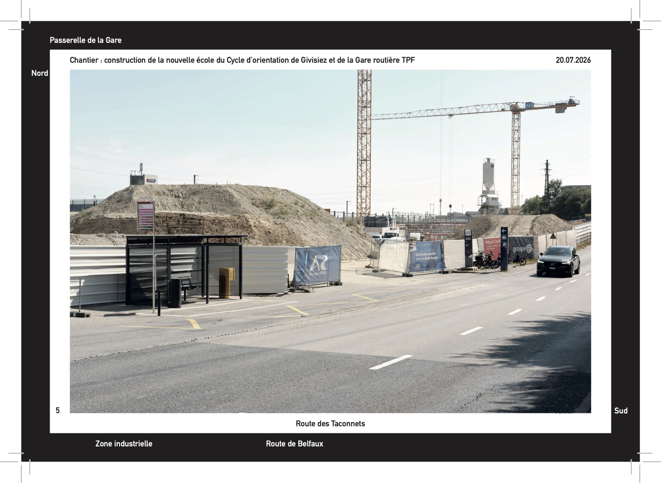
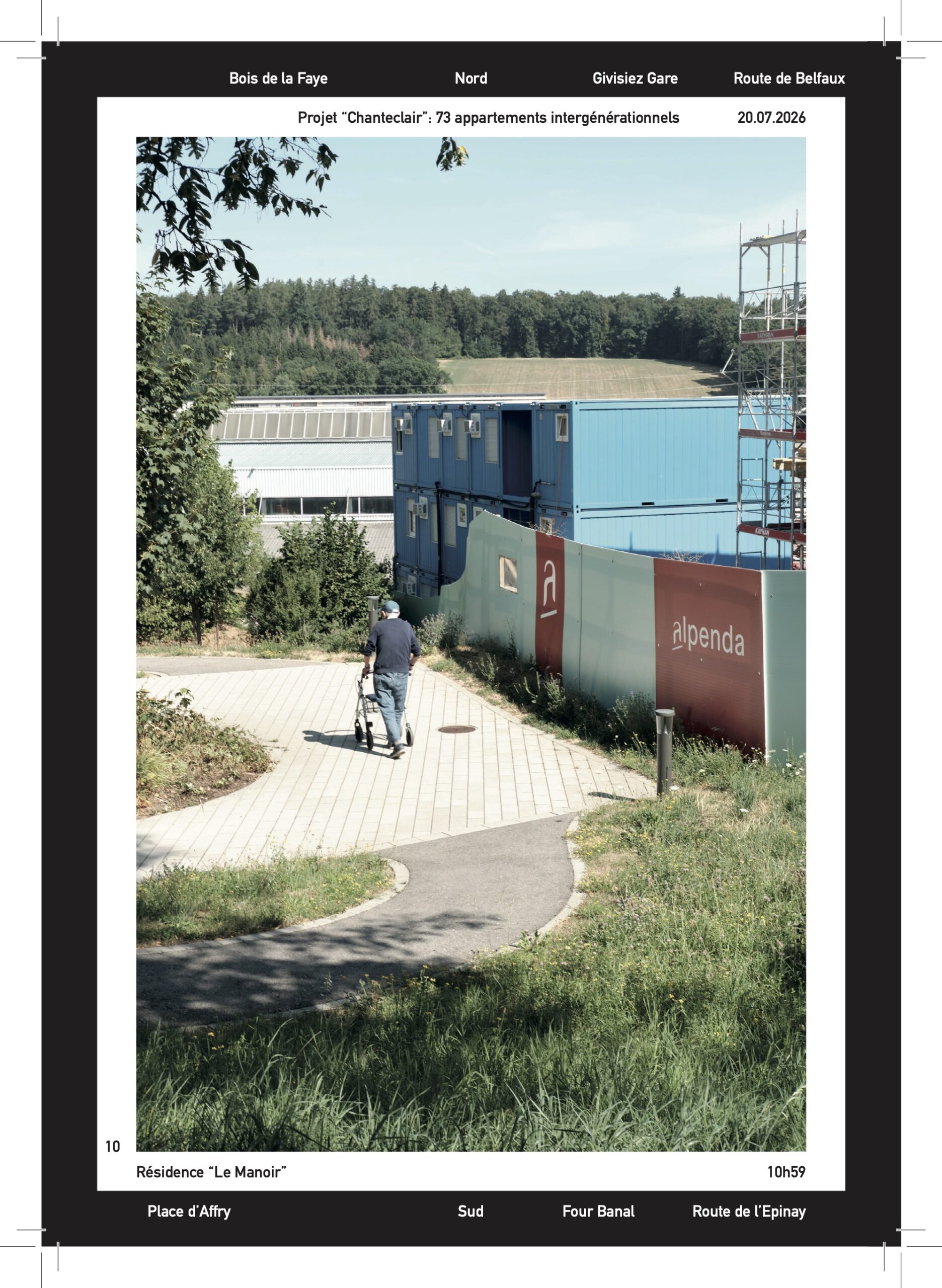
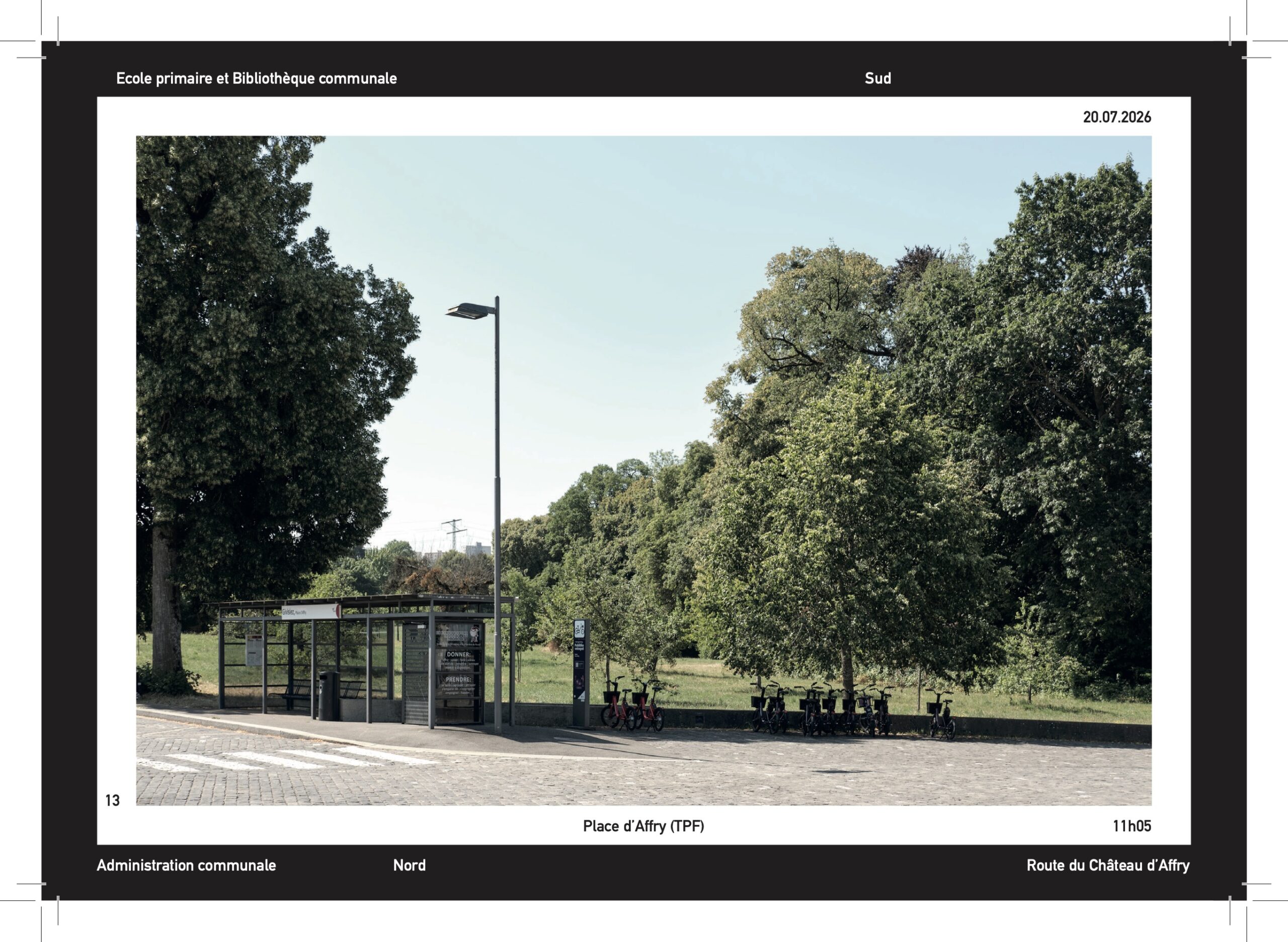
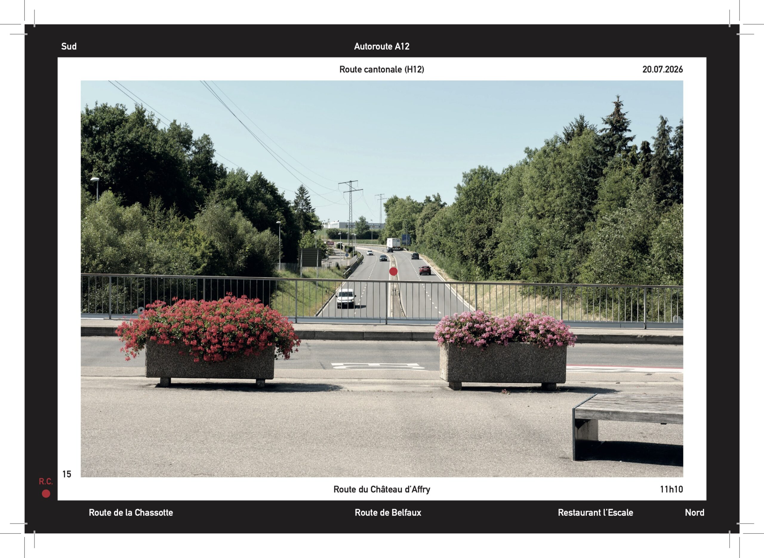
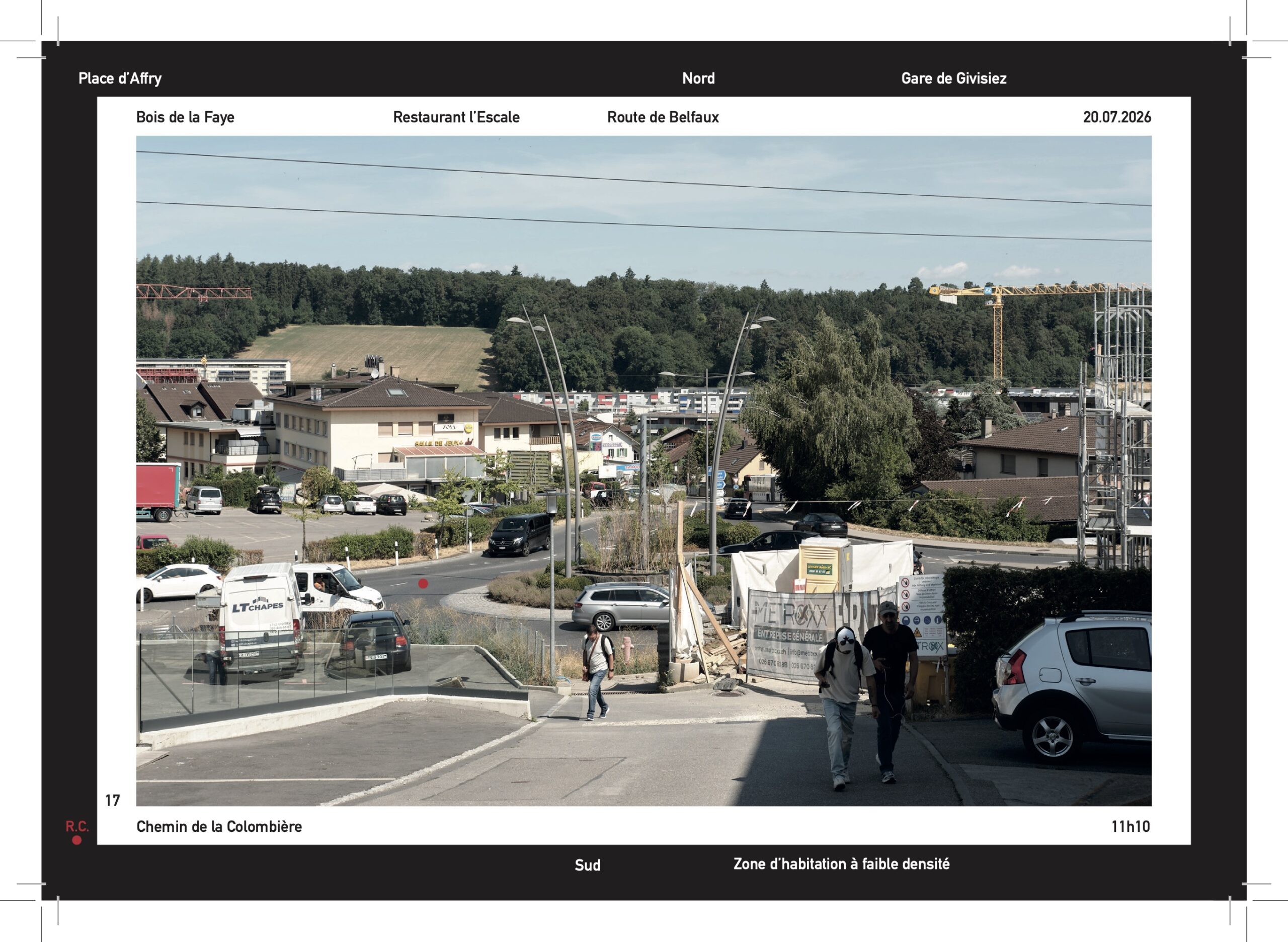
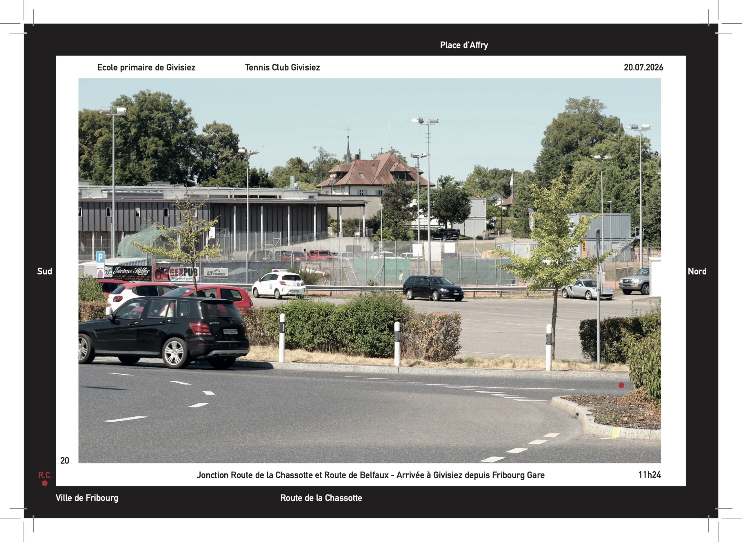
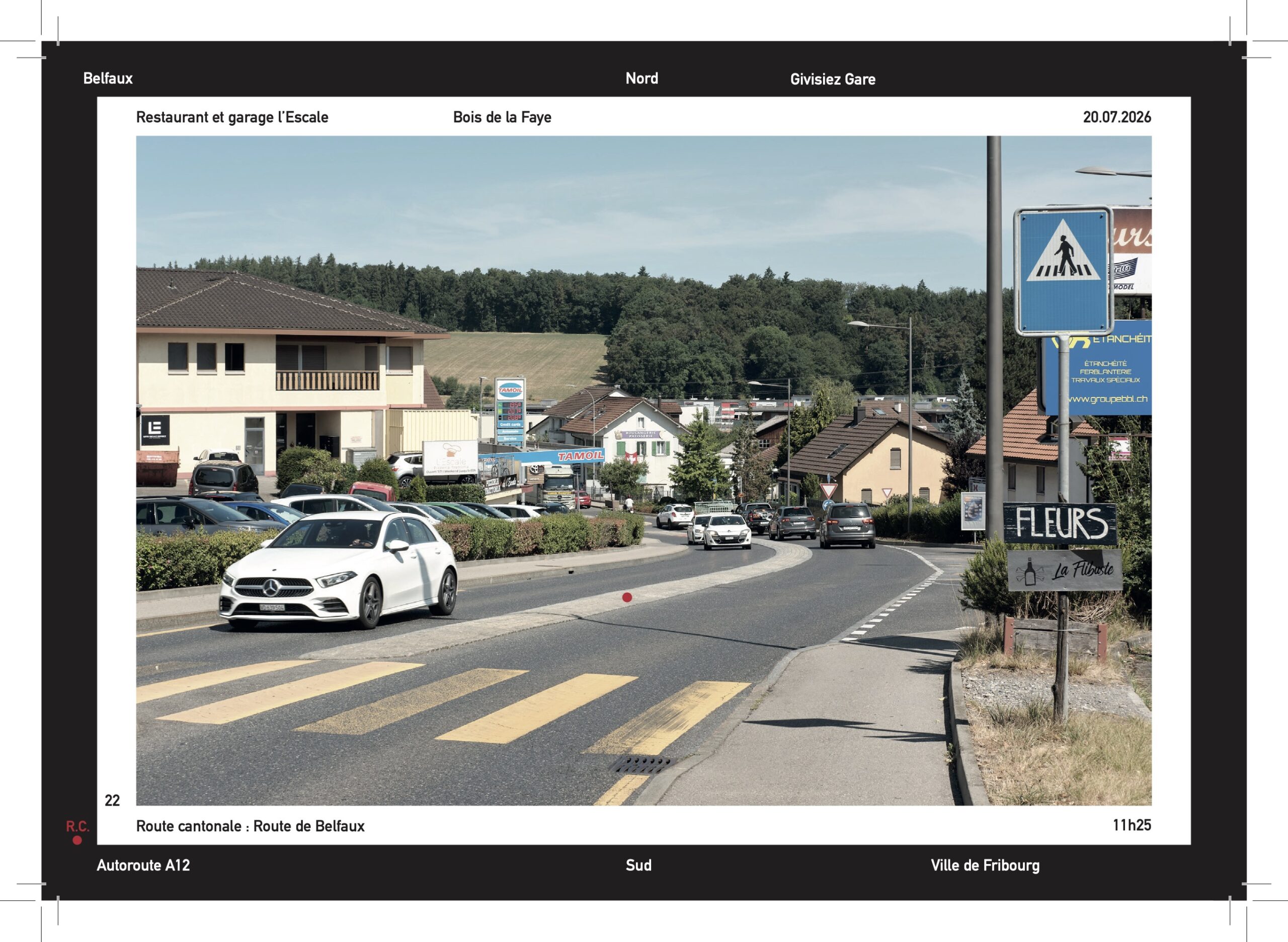
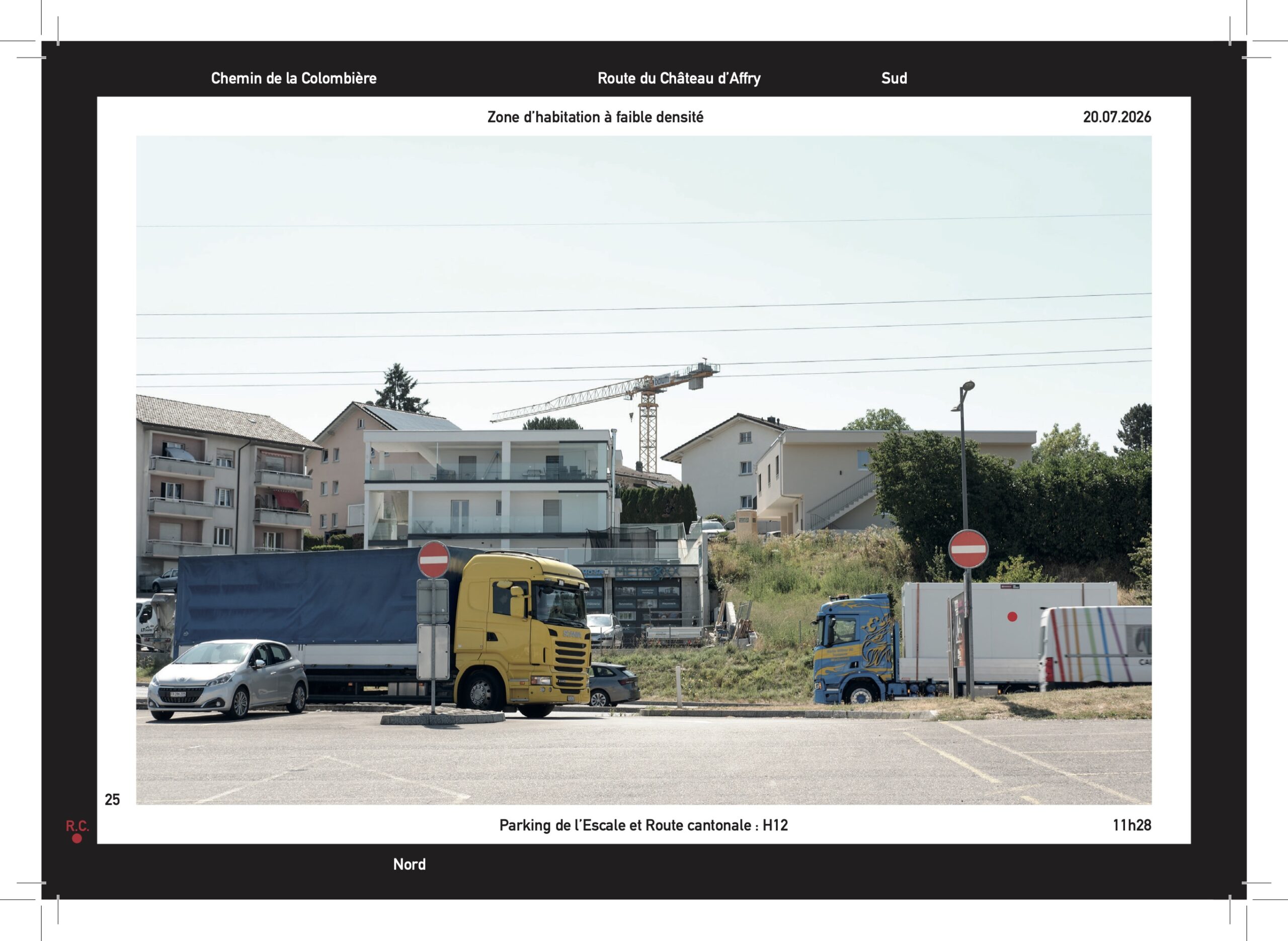
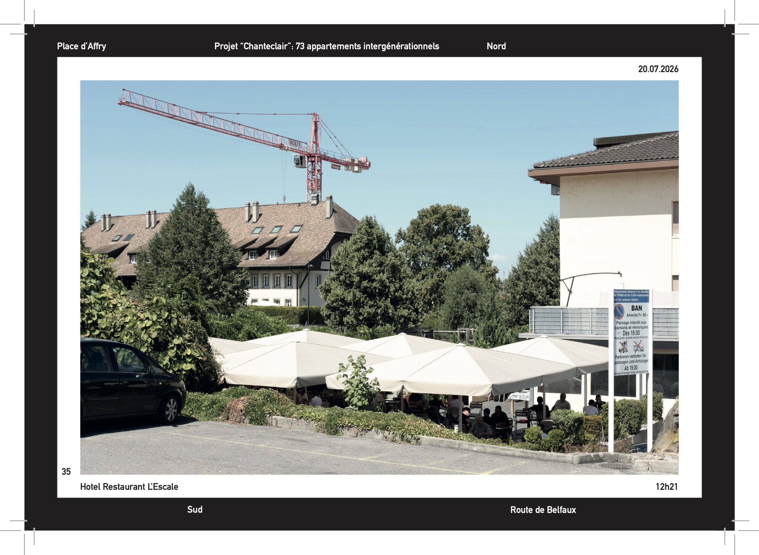
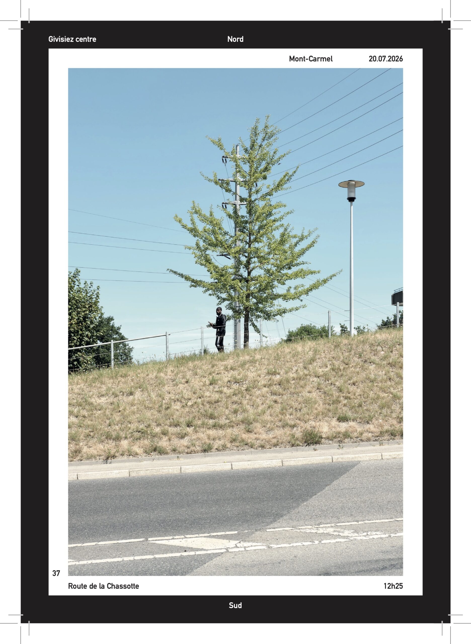
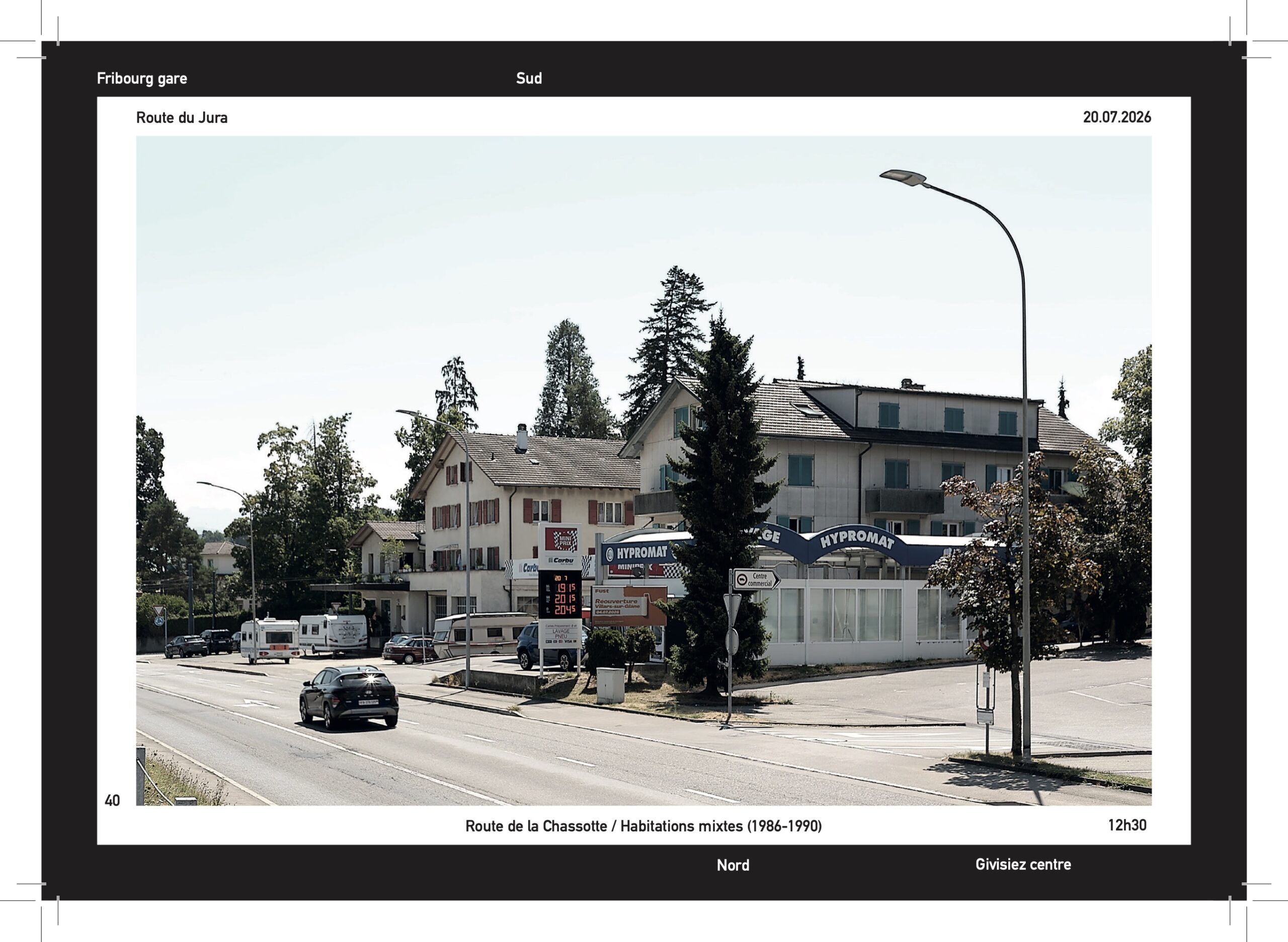
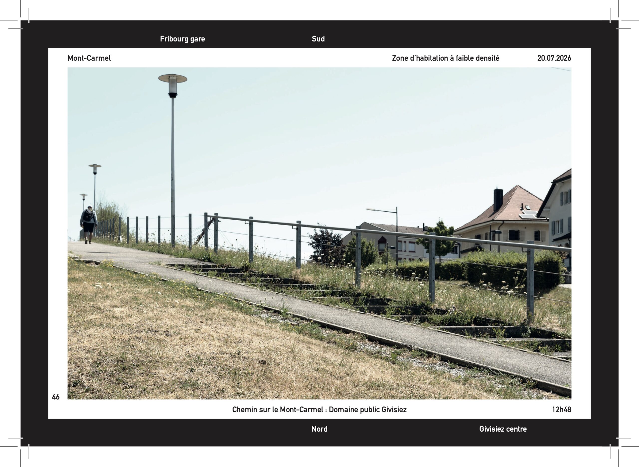
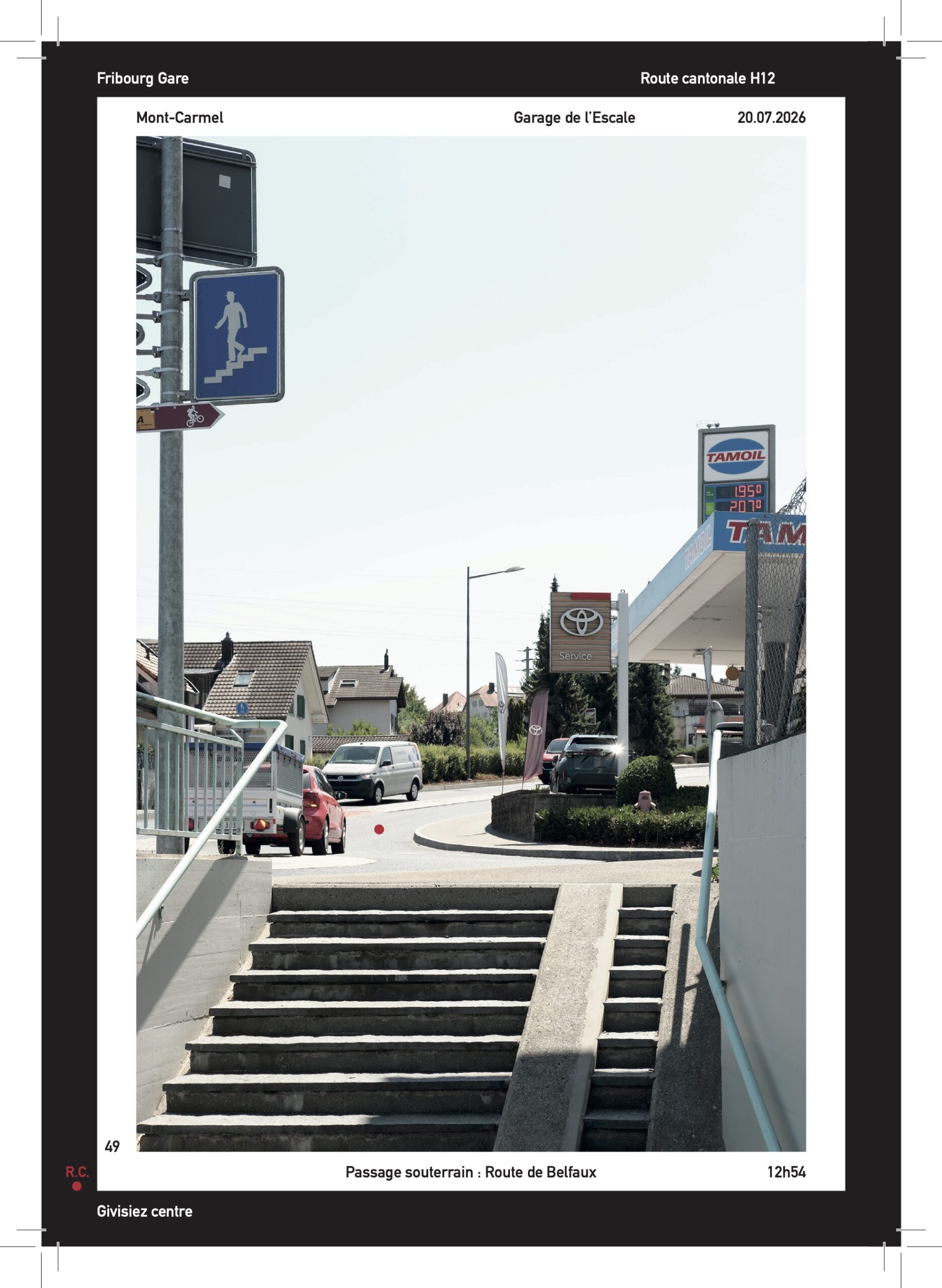
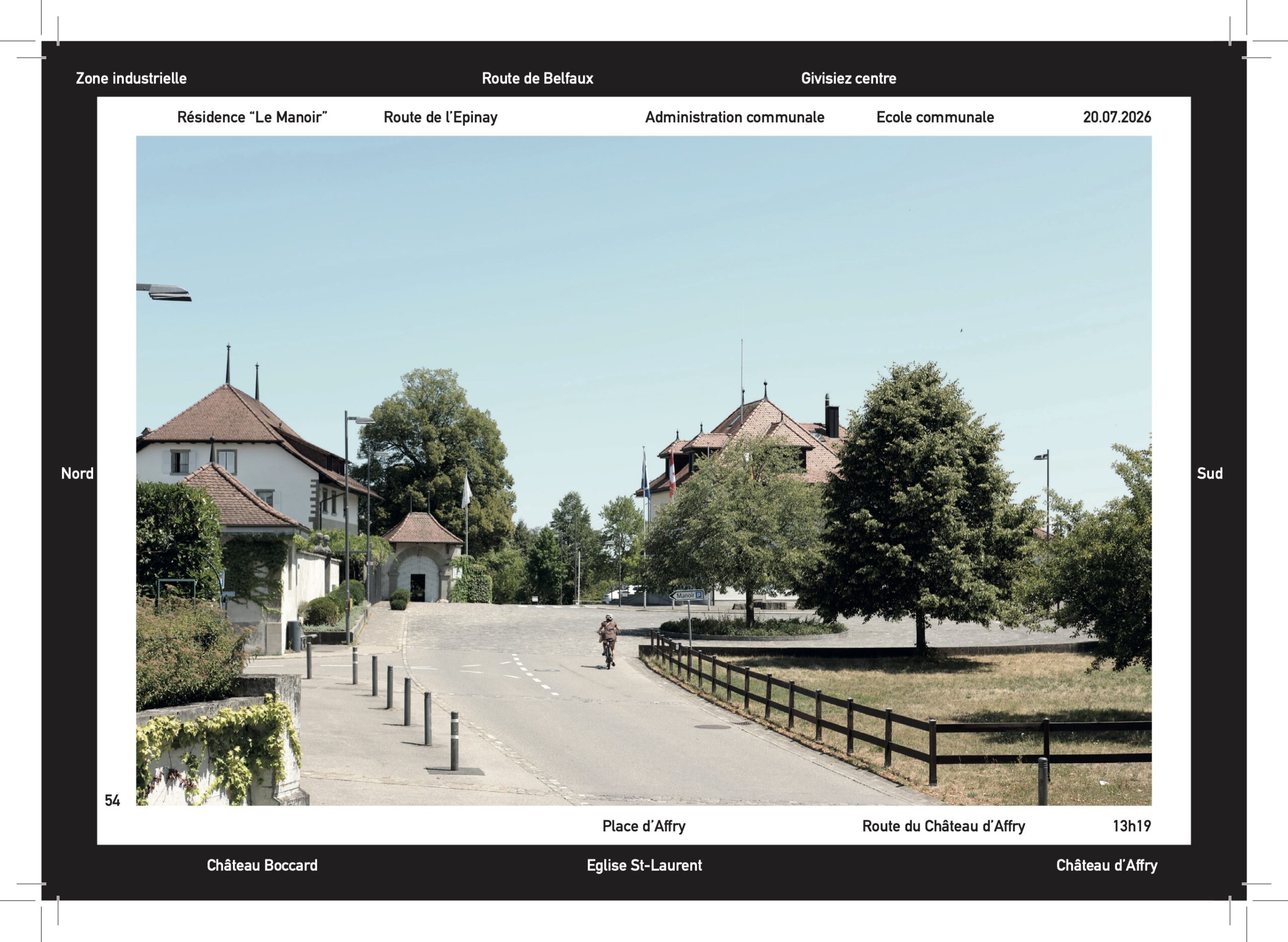
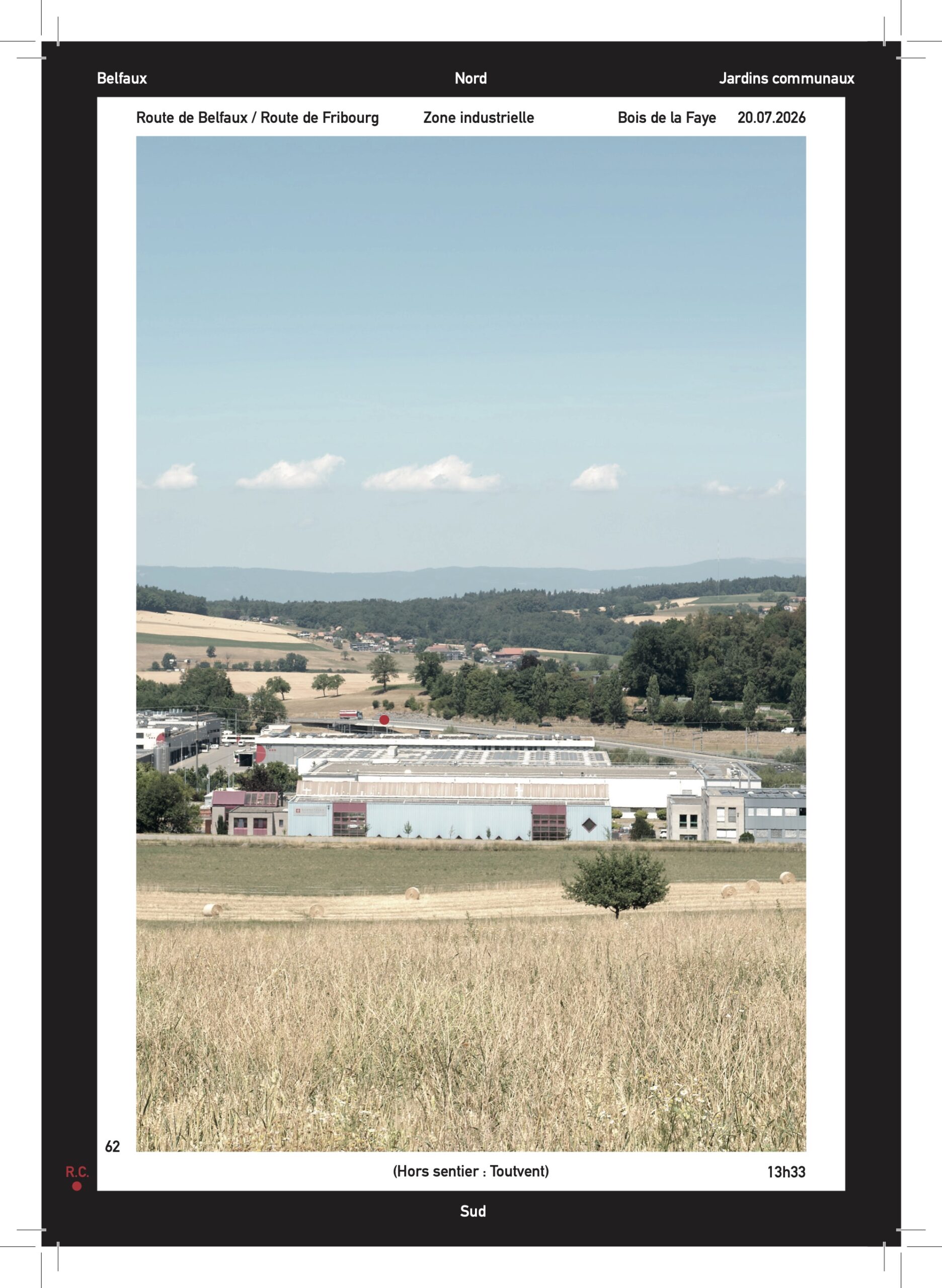
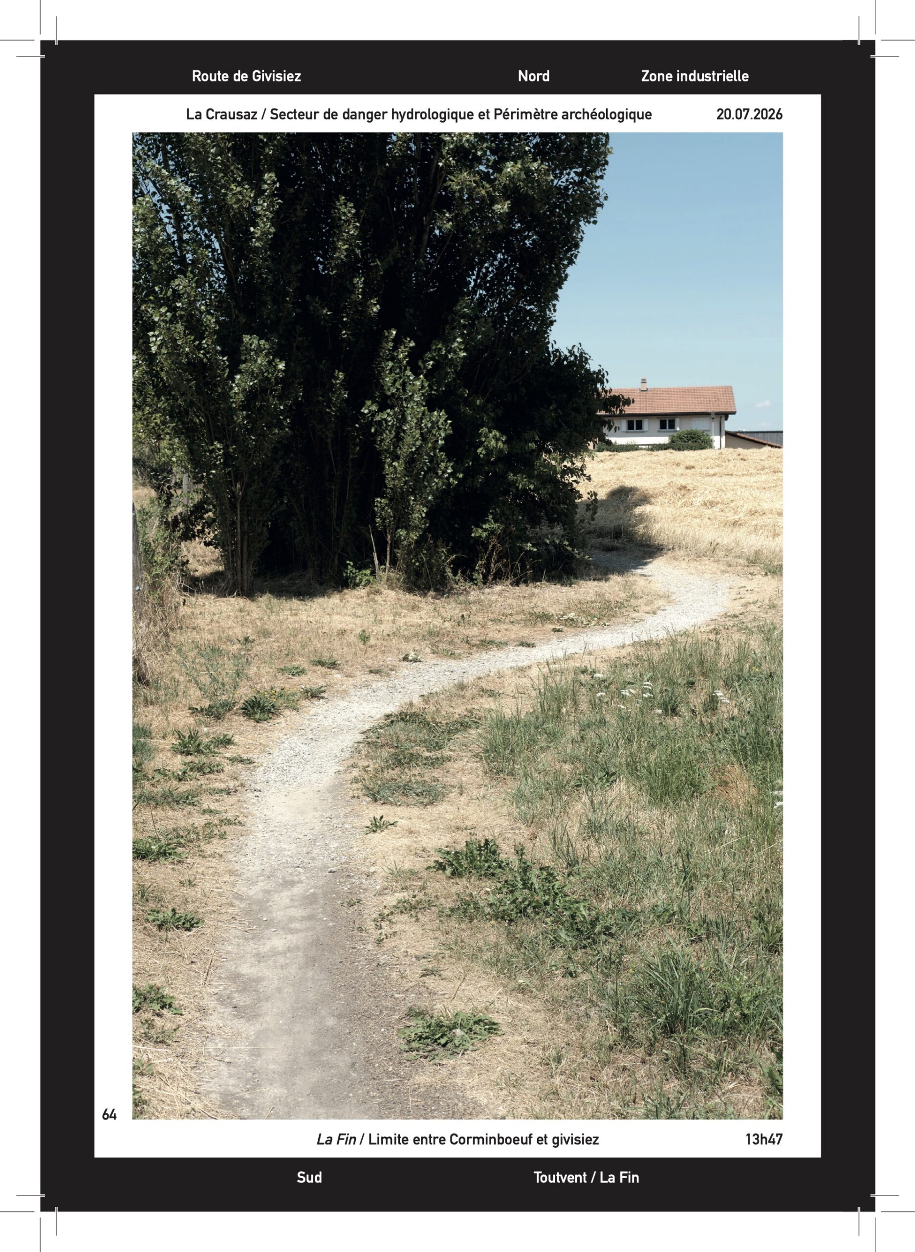
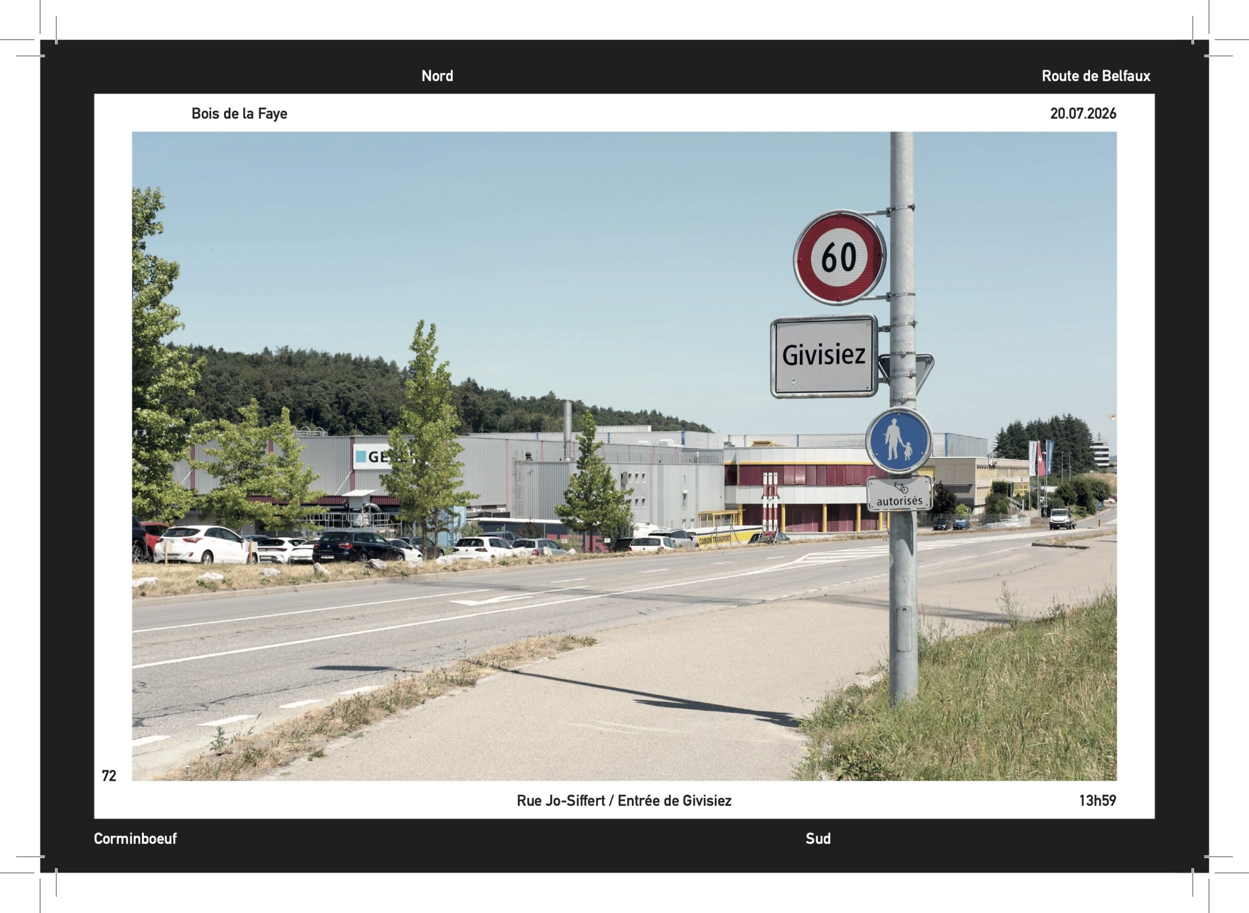
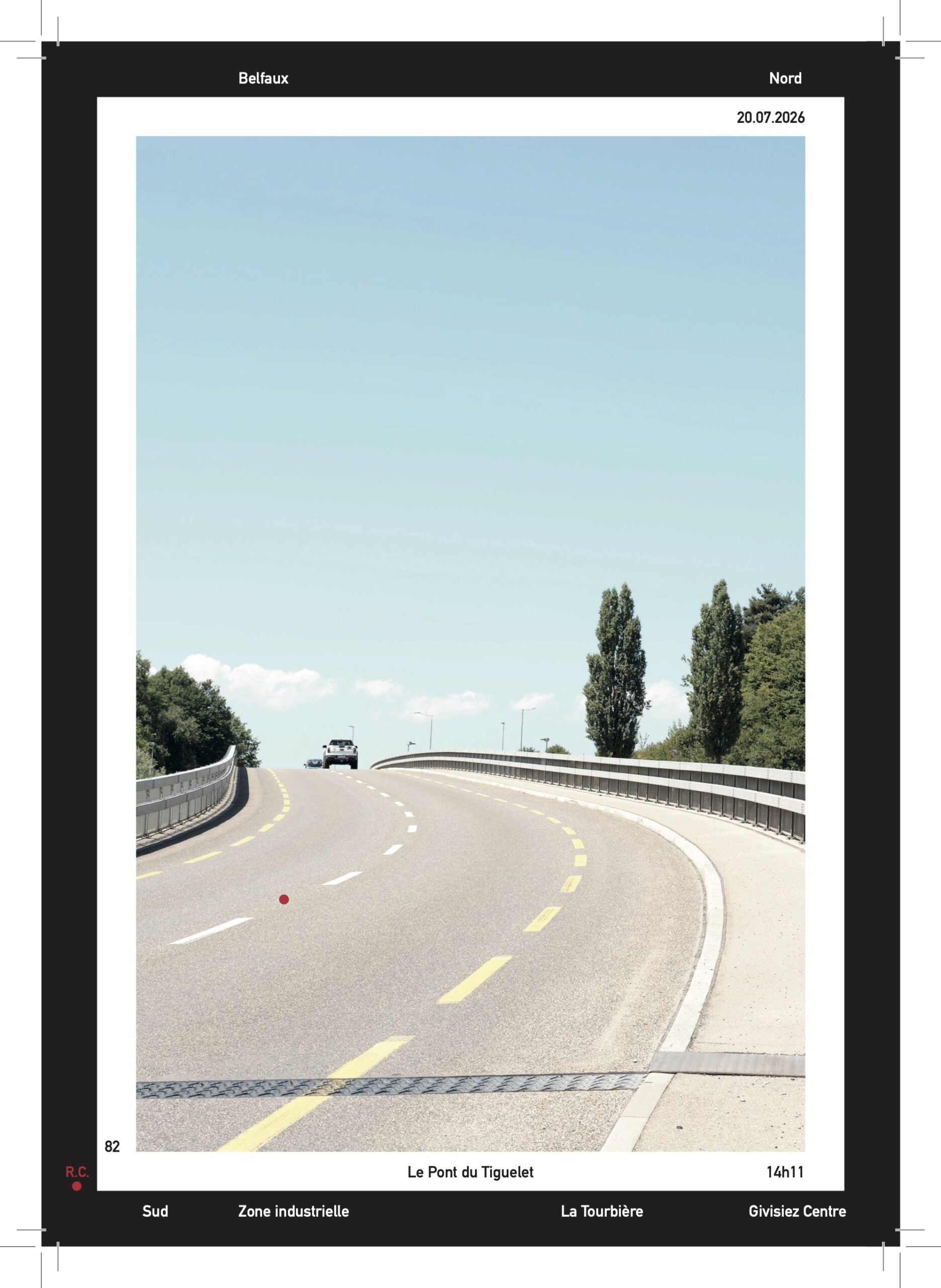
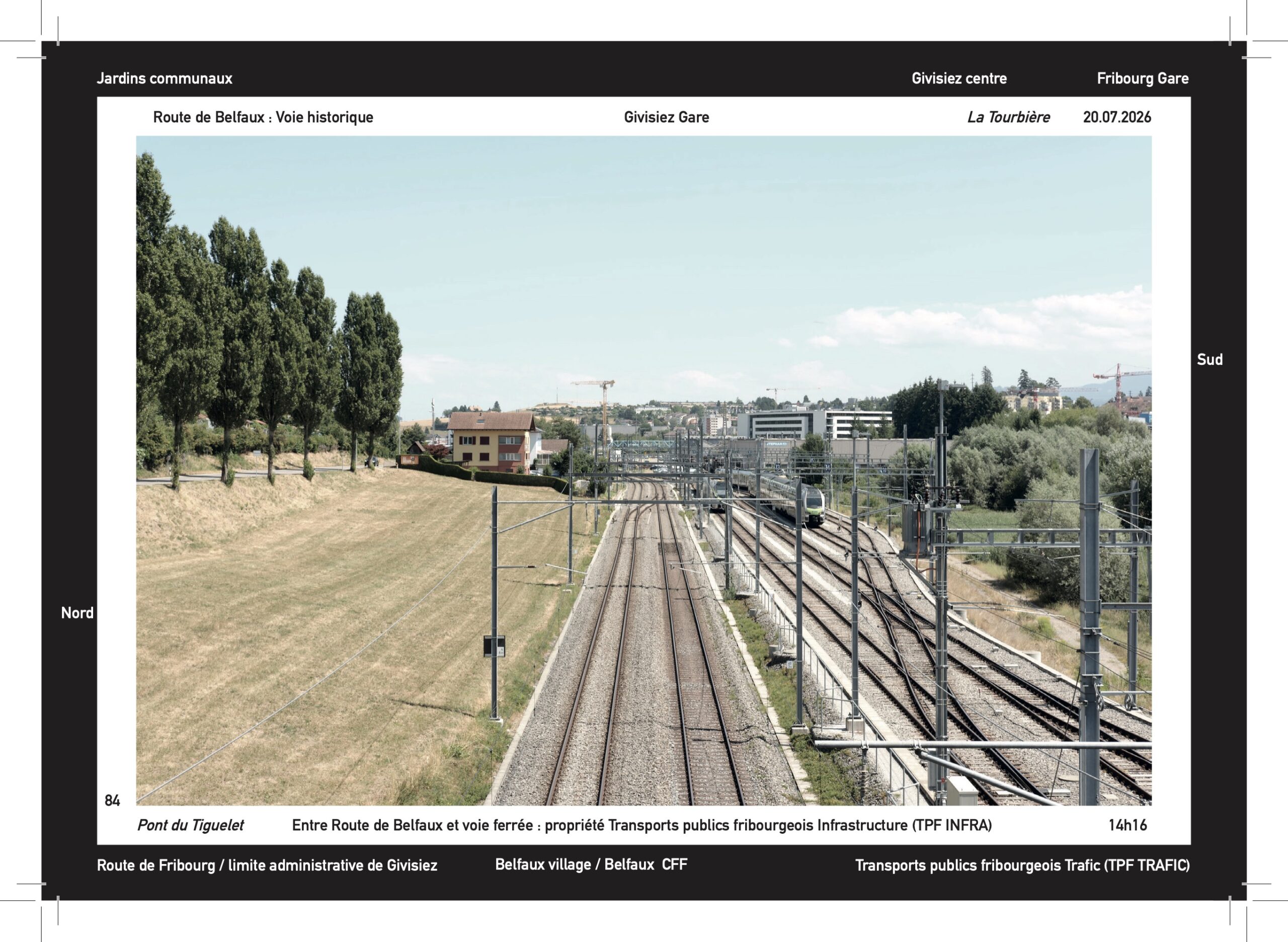
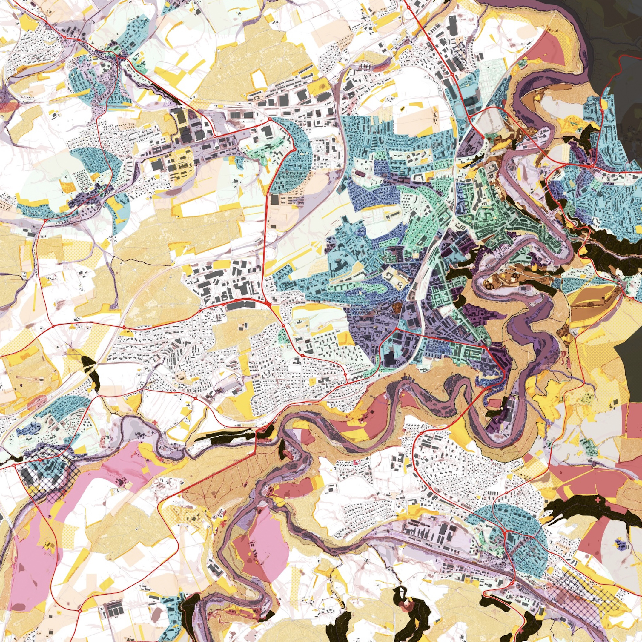
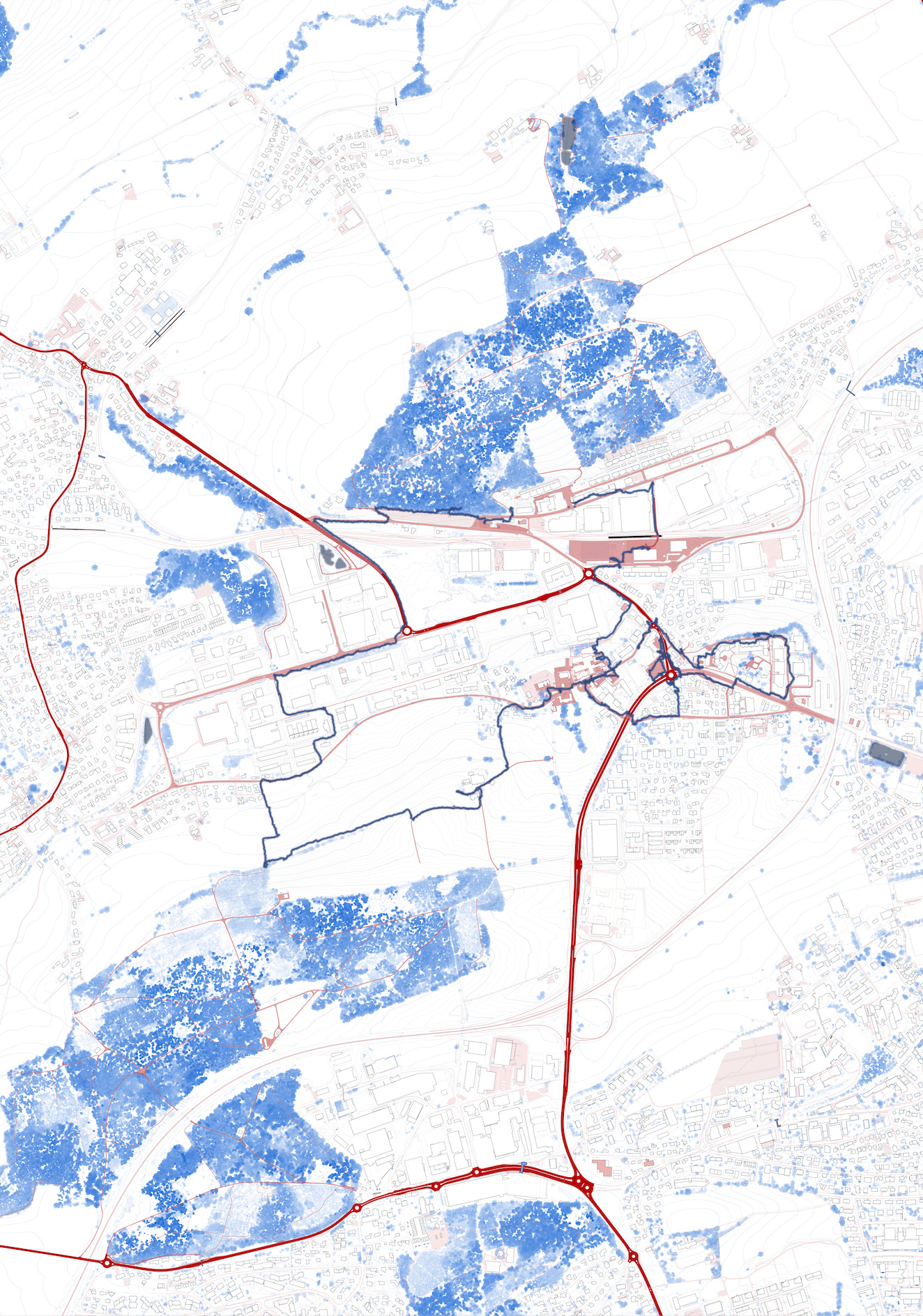
The Situated Atlas consists in a series of pictures offering a perspective on the cantonal road and its environment, put in relation to a map. They aim to figure the articulations of the road rather than the road itself. A thick black frame is used us a tool to detail out-of-frame elements participating in these relationships. Subsequently, these pictures will be linked with local historical archives and local planification documents to expand the reading we can make of them.
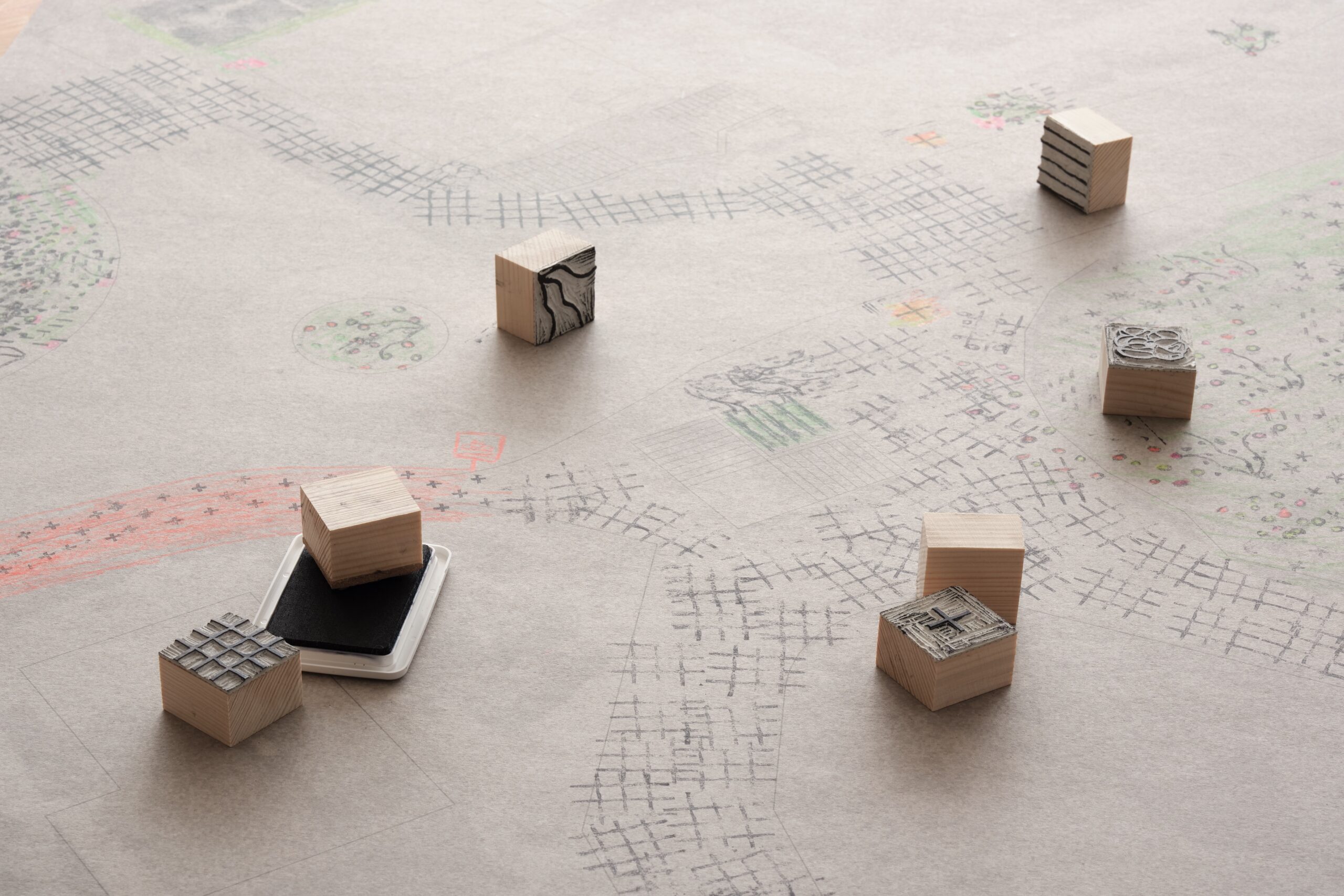
These pictures are meant as a thinking support that can be discussed and annotated during workshops. Their reading therefore varies on the person consulting it. They don’t pretend to offer a holistic view of a place but rather to extract some elements from the complexity of their environment.